Verdict Box
Best for: Scenic strolls, pram‑friendly paths, easy 3–5 km loops
Skip if: You want inner-city laneways and riverside promenades
Rent pressure: Moderate; value pockets still around
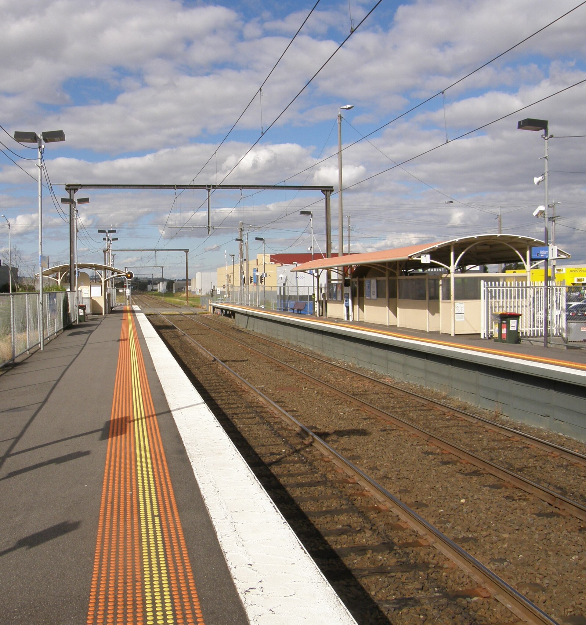
Commute reality: 45–55 min to CBD by train; quicker off‑peak via M1
Food scene: Compact but improving
Family fit: Multiple playgrounds and flat paths
Overall score: 7/10
What most guides miss: Hallam’s shared paths are flatter than most nearby suburbs, so pace feels easier even on longer loops.
At-a-Glance Table
| Metric | Hallam | State Avg |
|---|---|---|
| Rent (1BR) | $1,300 | $1,450 |
| Safety | 75/100 | 70/100 |
| Transit | 6/10 | 7/10 |
| Walkability | 8/10 | 6/10 |
| Dwellings | 12,000 | 1.8M |
Who It Suits
Families: Plenty of parks and recreation areas.
Nature lovers: Access to scenic walking trails.
Budget renters: Affordable living near green space.
Commuters: Train links and M1 access for city trips.
The honest reality: Flat terrain suits most fitness levels and prams.
Rent & Property Reality
Rents sit below the metro average, which helps.
A typical 1BR is about $1,300 vs $1,450 state average.
Domain trends show steady interest from young families.
Housing stock is a mix of older homes and new townhouses.
Here’s the kicker: Homes near Hallam Station or the Valley Trail list fast, so be pre‑approved if you’re buying or ready to move if you’re renting.
Local Reality & Pockets
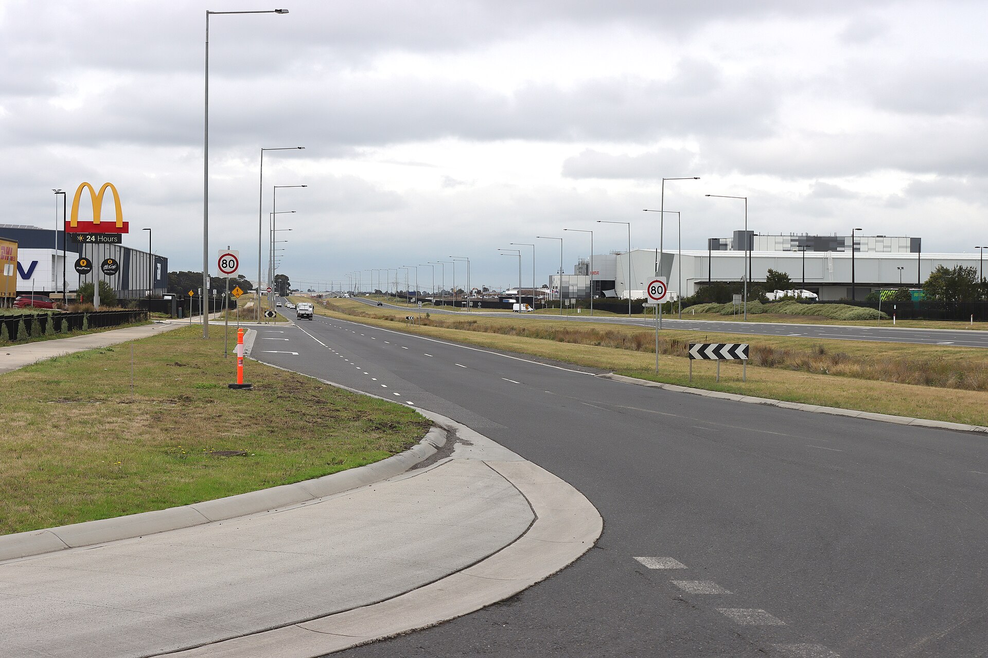
Hallam is residential first, with daily needs clustered on Hallam Rd and Princes Hwy.
The Monash Fwy (M1) trims drive times to nearby Narre Warren and Dandenong.
Access points for the Hallam Valley Trail sit near Hallam South Rd and Gladstone Rd.
Most paths are wide, shared, and quiet on weekday mornings.
What most guides miss: Low‑lying sections can get muddy after rain—wear grippy shoes and expect puddles.
Signature Craving
After your loop, The Coffee Emporium on Hallam Rd is a reliable pit stop for a flat white and warm muffin.
Service is quick, seating is comfy, and prices sit around $$.
Pro tip: Order ahead for takeaway if you’re timing a train.
Here’s the move: Hit it before 9 am to skip the school‑run rush.
Comparisons Table
Here’s where Hallam pulls ahead: flat paths and easy trail access.
| Suburb | Rent (1BR) | Trail density | Parking ease | Best for |
|---|---|---|---|---|
| Hallam | $1,300 | High | Easy | Nature walks, prams |
| Narre Warren | $1,400 | Medium | Easy | Shopping + short loops |
| Hampton Park | $1,350 | Medium | Easy | Family parks |
| Dandenong | $1,500 | High | Difficult | Urban circuits |
Trust Block
Author: Jack Morrison
Data sourced from Domain and City of Casey.
Not financial advice.
FAQ
Q: Is the Hallam Valley Trail lit at night? Lighting is patchy. Stick to daylight or early evening and bring a torch if dusk walking.
Q: Where do I park for the quickest access to Hallam Valley Trail? Use side streets off Hallam South Rd or near Gladstone Rd for short, legal on‑street parking.
Q: Is the Hallam Valley Trail pram‑friendly? Yes. It’s flat and sealed in long stretches, with only occasional uneven patches.
Q: Are dogs allowed on the trail in Hallam? Yes on leash. Check local signage for any short off‑leash zones managed by City of Casey.
Q: Does the trail get muddy after rain? Low‑lying sections can get wet and muddy. Wear grippy shoes for the day after heavy rain.
Q: How long is a solid loop from Hallam Station? A station-to-trail return loop is roughly 4–6 km depending on your entry point and turn‑back.
Q: Can I ride a bike on the Hallam Valley Trail? Yes. It’s a shared path—keep left and give way to pedestrians.
Q: Are there toilets or water fountains along the route? Amenities are limited. Plan for park toilets near playgrounds and carry water.
Q: Is it safe to walk solo in Hallam? Safety is generally good (approx. 75/100). Prefer daylight hours and stick to busier sections.
Q: How do I connect Hallam’s paths to longer rides or walks? Link to Eumemmerring Creek paths and toward Dandenong Creek for longer, continuous routes.
Q: What’s the best coffee near the trail? The Coffee Emporium on Hallam Rd is a handy stop for takeaway before or after your walk.
Q: Is there an official map of Hallam walking trails? Yes. Check the City of Casey website for current shared path maps and park info.
“\n{\n "@context": "https://schema.org",\n "@graph": [\n {\n "@type": "Organization",\n "@id": "https://melbz.com.au/#organization",\n "name": "MELBZ",\n "url": "https://melbz.com.au/",\n "logo": {\n "@type": "ImageObject",\n "url": "https://melbz.com.au/images/melbz-logo.png",\n "width": 600,\n "height": 60\n },\n "sameAs": [\n "https://x.com/melbzau",\n "https://instagram.com/melbz101"\n ]\n },\n {\n "@type": "WebPage",\n "@id": "https://melbz.com.au/hallam/best-walks/",\n "url": "https://melbz.com.au/hallam/best-walks/",\n "name": "Hallam Walks 2026: What Google Doesn’t Tell You",\n "description": "The no-fluff 2026 guide to Hallam’s best walks: access tips, parking, safety, pram advice, and a post-walk coffee pick near the trail.",\n "inLanguage": "en-AU",\n "isPartOf": {\n "@id": "https://melbz.com.au/#website"\n },\n "primaryImageOfPage": {\n "@type": "ImageObject",\n "url": "https://images.unsplash.com/photo-1642939646286-b20a6796bce1?crop=entropy\u0026cs=tinysrgb\u0026fit=max\u0026fm=jpg\u0026ixid=M3w5MDM1ODN8MHwxfHNlYXJjaHwxfHx3YWxraW5nJTIwdHJhaWwlMjBIYWxsYW0lMjBtZWxib3VybmV8ZW58MXwwfHx8MTc3OTQ2MzY1MHww\u0026ixlib=rb-4.1.0\u0026q=80\u0026w=1080"\n },\n "speakable": {\n "@type": "SpeakableSpecification",\n "cssSelector": [\n ".verdict-box",\n ".at-a-glance",\n ".faq"\n ]\n }\n },\n {\n "@type": "Article",\n "@id": "https://melbz.com.au/hallam/best-walks/#article",\n "headline": "Hallam Walks 2026: What Google Doesn’t Tell You",\n "description": "The no-fluff 2026 guide to Hallam’s best walks: access tips, parking, safety, pram advice, and a post-walk coffee pick near the trail.",\n "image": [\n "https://images.unsplash.com/photo-1642939646286-b20a6796bce1?crop=entropy\u0026cs=tinysrgb\u0026fit=max\u0026fm=jpg\u0026ixid=M3w5MDM1ODN8MHwxfHNlYXJjaHwxfHx3YWxraW5nJTIwdHJhaWwlMjBIYWxsYW0lMjBtZWxib3VybmV8ZW58MXwwfHx8MTc3OTQ2MzY1MHww\u0026ixlib=rb-4.1.0\u0026q=80\u0026w=1080"\n ],\n "datePublished": "2026-05-22",\n "dateModified": "2026-05-22",\n "author": {\n "@type": "Person",\n "name": "Jack Morrison",\n "url": "https://melbz.com.au/authors/jack-morrison/",\n "description": "Bayside and west property correspondent. Walks every suburb he writes about."\n },\n "publisher": {\n "@id": "https://melbz.com.au/#organization"\n },\n "mainEntityOfPage": {\n "@id": "https://melbz.com.au/hallam/best-walks/"\n },\n "articleSection": "things-to-do",\n "keywords": [\n "hallam",\n "best walks",\n "melbourne",\n "things-to-do",\n "2026"\n ],\n "inLanguage": "en-AU"\n },\n {\n "@type": "BreadcrumbList",\n "@id": "https://melbz.com.au/hallam/best-walks/#breadcrumb",\n "itemListElement": [\n {\n "@type": "ListItem",\n "position": 1,\n "name": "Home",\n "item": "https://melbz.com.au/"\n },\n {\n "@type": "ListItem",\n "position": 2,\n "name": "Hallam",\n "item": "https://melbz.com.au/hallam/"\n },\n {\n "@type": "ListItem",\n "position": 3,\n "name": "Best Walks",\n "item": "https://melbz.com.au/hallam/best-walks//"\n }\n ]\n },\n {\n "@type": "FAQPage",\n "@id": "https://melbz.com.au/hallam/best-walks/#faq",\n "mainEntity": [\n {\n "@type": "Question",\n "name": "Is the Hallam Valley Trail lit at night?",\n "acceptedAnswer": {\n "@type": "Answer",\n "text": "Lighting is patchy. Stick to daylight or early evening and bring a torch if dusk walking."\n }\n },\n {\n "@type": "Question",\n "name": "Where do I park for the quickest access to Hallam Valley Trail?",\n "acceptedAnswer": {\n "@type": "Answer",\n "text": "Use side streets off Hallam South Rd or near Gladstone Rd for short, legal on‑street parking."\n }\n },\n {\n "@type": "Question",\n "name": "Is the Hallam Valley Trail pram‑friendly?",\n "acceptedAnswer": {\n "@type": "Answer",\n "text": "Yes. It’s flat and sealed in long stretches, with only occasional uneven patches."\n }\n },\n {\n "@type": "Question",\n "name": "Are dogs allowed on the trail in Hallam?",\n "acceptedAnswer": {\n "@type": "Answer",\n "text": "Yes on leash. Check local signage for any short off‑leash zones managed by City of Casey."\n }\n },\n {\n "@type": "Question",\n "name": "Does the trail get muddy after rain?",\n "acceptedAnswer": {\n "@type": "Answer",\n "text": "Low‑lying sections can get wet and muddy. Wear grippy shoes for the day after heavy rain."\n }\n },\n {\n "@type": "Question",\n "name": "How long is a solid loop from Hallam Station?",\n "acceptedAnswer": {\n "@type": "Answer",\n "text": "A station-to-trail return loop is roughly 4–6 km depending on your entry point and turn‑back."\n }\n },\n {\n "@type": "Question",\n "name": "Can I ride a bike on the Hallam Valley Trail?",\n "acceptedAnswer": {\n "@type": "Answer",\n "text": "Yes. It’s a shared path—keep left and give way to pedestrians."\n }\n },\n {\n "@type": "Question",\n "name": "Are there toilets or water fountains along the route?",\n "acceptedAnswer": {\n "@type": "Answer",\n "text": "Amenities are limited. Plan for park toilets near playgrounds and carry water."\n }\n },\n {\n "@type": "Question",\n "name": "Is it safe to walk solo in Hallam?",\n "acceptedAnswer": {\n "@type": "Answer",\n "text": "Safety is generally good (approx. 75/100). Prefer daylight hours and stick to busier sections."\n }\n },\n {\n "@type": "Question",\n "name": "How do I connect Hallam’s paths to longer rides or walks?",\n "acceptedAnswer": {\n "@type": "Answer",\n "text": "Link to Eumemmerring Creek paths and toward Dandenong Creek for longer, continuous routes."\n }\n },\n {\n "@type": "Question",\n "name": "What’s the best coffee near the trail?",\n "acceptedAnswer": {\n "@type": "Answer",\n "text": "The Coffee Emporium on Hallam Rd is a handy stop for takeaway before or after your walk."\n }\n },\n {\n "@type": "Question",\n "name": "Is there an official map of Hallam walking trails?",\n "acceptedAnswer": {\n "@type": "Answer",\n "text": "Yes. Check the City of Casey website for current shared path maps and park info."\n }\n }\n ]\n },\n {\n "@type": "Place",\n "@id": "https://melbz.com.au/hallam/#place",\n "name": "Hallam, Victoria, Australia",\n "address": {\n "@type": "PostalAddress",\n "addressLocality": "Hallam",\n "addressRegion": "VIC",\n "addressCountry": "AU",\n "postalCode": "3803"\n }\n },\n {\n "@type": "ItemList",\n "@id": "https://melbz.com.au/hallam/best-walks/#venues",\n "name": "Top best walks venues in Hallam",\n "numberOfItems": 5,\n "itemListElement": [\n {\n "@type": "ListItem",\n "position": 1,\n "item": {\n "@type": "BarOrPub",\n "name": "Hallam Hotel",\n "address": {\n "@type": "PostalAddress",\n "streetAddress": "241 Princes Highway, Hallam VIC 3803",\n "addressLocality": "Hallam",\n "addressRegion": "VIC",\n "addressCountry": "AU"\n },\n "priceRange": "$$"\n }\n },\n {\n "@type": "ListItem",\n "position": 2,\n "item": {\n "@type": "CafeOrCoffeeShop",\n "name": "The Coffee Emporium",\n "address": {\n "@type": "PostalAddress",\n "streetAddress": "Hallam Road, Hallam VIC 3803",\n "addressLocality": "Hallam",\n "addressRegion": "VIC",\n "addressCountry": "AU"\n },\n "priceRange": "$$"\n }\n },\n {\n "@type": "ListItem",\n "position": 3,\n "item": {\n "@type": "FastFoodRestaurant",\n "name": "McDonald’s Hallam",\n "address": {\n "@type": "PostalAddress",\n "streetAddress": "Princes Highway, Hallam VIC 3803",\n "addressLocality": "Hallam",\n "addressRegion": "VIC",\n "addressCountry": "AU"\n },\n "priceRange": "$"\n }\n },\n {\n "@type": "ListItem",\n "position": 4,\n "item": {\n "@type": "FastFoodRestaurant",\n "name": "Subway Hallam",\n "address": {\n "@type": "PostalAddress",\n "streetAddress": "Princes Highway, Hallam VIC 3803",\n "addressLocality": "Hallam",\n "addressRegion": "VIC",\n "addressCountry": "AU"\n },\n "priceRange": "$"\n }\n },\n {\n "@type": "ListItem",\n "position": 5,\n "item": {\n "@type": "Restaurant",\n "name": "Hallam Kebab House",\n "address": {\n "@type": "PostalAddress",\n "streetAddress": "Hallam Road, Hallam VIC 3803",\n "addressLocality": "Hallam",\n "addressRegion": "VIC",\n "addressCountry": "AU"\n },\n "priceRange": "$"\n }\n }\n ]\n }\n ]\n}\n”