Correction (3 October 2026): an earlier version of this page listed places and details we could not stand behind. It has been rewritten from scratch: every place below was confirmed at two independent sources on 3 October 2026.
Five public places, one library and four outdoor spots, all on council or library pages. Three are in Mount Waverley: the library, Valley Conservation Reserve and Mayfield Park. The other two are Scotchmans Creek Trail and Jordan Reserve, which the council lists in Chadstone, so this is a guide to Mount Waverley and the edge of Chadstone.
Here is the cost tag, up front: we copied no entry price for any of them, and the library page states none. We have not called any of them free, because no page we read says so in those words. Check the library or council page before you go. The library is the indoor option, so it is also the rain backup for the other four.
The quick picks
| If you’re after | Head to | Where |
|---|---|---|
| A library branch with listed opening days, public computers and parking | Mount Waverley Library | 41 Miller Crescent, Mount Waverley |
| A bushland reserve with an adventure playground | Valley Conservation Reserve | 80 Waimarie Drive, Mount Waverley |
| A park with a playspace and seating | Mayfield Park | 12A and 34-38 Mayfield Drive, Mount Waverley |
| A shared path that links several reserves | Scotchmans Creek Trail (shared path) | 23-25 Cole Crescent, Chadstone |
| A reserve with an oval and a playground | Jordan Reserve | 12-22 Burton Street, Chadstone |
Mount Waverley Library — 41 Miller Crescent, Mount Waverley VIC 3149
This is a Monash Public Library Service branch. Its page lists “Sunday Closed Monday 09:30 AM–08:00 PM Tuesday 09:30 AM–08:00 PM Wednesday 09:30 AM–08:00 PM Thursday 09:30 AM–08:00 PM Friday 09:30 AM–08:00 PM Saturday 09:30 AM–04:00 PM”. The page lists features including toilets, internet access, public computers, parking and meeting rooms.
The page states no entry price, so we are not tagging it free. Check the library page for anything you want to use, such as meeting rooms.
Get there: the library page lists Mount Waverley Station at “50 metres”, and parking at the rear, “3 hour parking at rear: Enter from Wadham Parade”.
Valley Conservation Reserve — 80 Waimarie Drive, Mount Waverley VIC 3149
The council describes it as “a 15ha bushland reserve in Mount Waverley” and lists a “unique adventure playground that has rope-climbing courses, a tree house and flying foxes”. Its facilities list reads “BBQ Bins Car parking Shelter Seats and/or picnic tables Toilets Drinking fountain Playground”.
The council page prints no opening hours. OpenStreetMap tags the reserve “sunrise-sunset”, with the City of Monash as operator. The council also says the reserve is home to “more than 55 native species, including 32 significant plant species”.
Plan it: read the council’s facilities list first, since it is the one place on this page with toilets, a drinking fountain and a barbecue all named.
Mayfield Park — 12A and 34-38 Mayfield Drive, Mount Waverley VIC 3149
The council says the playspace “is at the western corner of the sportsground and has something for children young and older”, with swings, climbing equipment, slides, spinner, steering wheels and a nature play area. It also lists a park bench and sawn-log seating.
On dogs, the council says the park “is a dog off-leash area, except on the tennis courts, where dogs are not permitted at any time”. The council’s features list for Mayfield Park does not include toilets, and we copied no opening hours for it.
Plan it: bring what you need for the playspace and check the council page for toilets, because the features list does not name any.
Scotchmans Creek Trail (shared path) — 23-25 Cole Crescent, Chadstone VIC 3148
This one is a trail, not a single place, and the Chadstone address above is only the council’s listing address. The council describes it as “a 13km on and off-road trail that bisects the Monash municipality into northern and southern sections from Jells Park to Warrigal Road”. It lists the off-road section as passing “wetlands, Valley Reserve, Fairway Reserve, Oakleigh Public Golf Course, Oakleigh Recreation Centre and Caloola Reserve”.
The council’s feature tags are “Bike path Walking track”. We copied no opening hours or entry price for it.
Plan it: pick one stretch rather than the whole trail. The council’s list names Valley Reserve on the route, so Valley Conservation Reserve above is one place to pair with it.
Jordan Reserve — 12-22 Burton Street, Chadstone VIC 3148
Jordan Reserve is in Chadstone, not Mount Waverley. The council says it “offers a range of activities, with a pavilion, oval, practice synthetic cricket pitches, and a playground with a flying fox, swings, slide, sandpit and balance beams.”
The council also says “This reserve is a dog off-leash area”, and adds that “Dogs must still be under effective control in dog off-leash areas.” We copied no opening hours or entry price for it.
Plan it: check the council page for the pavilion and oval before you go, since it names them but we did not read any booking or access details.
Quick answers
Are these free things to do in Mount Waverley?
We have not labelled any of them free. They are a public library branch, council parks and a council-listed trail, and we copied no entry price for any of them. The library page states none either, so check the council or library page before you go.
Which of these places are actually in Mount Waverley?
The library, Valley Conservation Reserve and Mayfield Park all have Mount Waverley addresses. Jordan Reserve is in Chadstone. Scotchmans Creek Trail has a Chadstone listing address, but the council’s route list names Valley Reserve.
What is open when it rains?
The library is the indoor option. Its page lists Monday to Friday 09:30 AM to 08:00 PM, Saturday 09:30 AM to 04:00 PM and Sunday closed.
Which places list toilets?
The library page lists toilets, and the council’s facilities list for Valley Conservation Reserve names toilets and a drinking fountain. The council’s features list for Mayfield Park does not include toilets.
How we checked
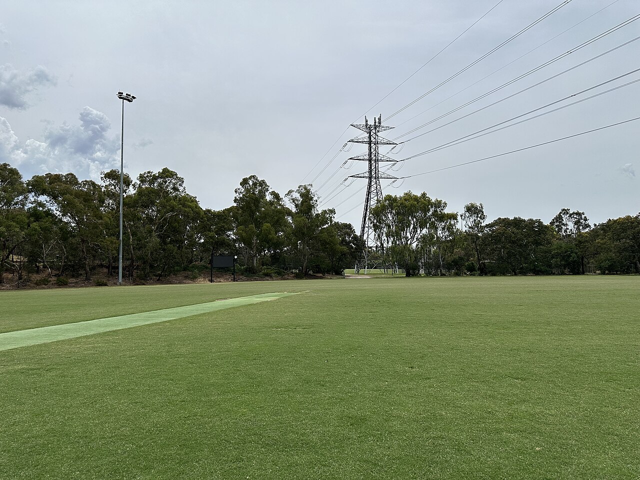
We checked every place on this page against at least two independent sources on 3 October 2026: OpenStreetMap and council pages. Facilities and opening hours change, so check the official page before you go. The cover photo is from Wikimedia Commons (CC BY 4.0), and it does not show any place on this page.
Seen something out of date? Email [email protected] with the page link and what has changed, and we will check it again.
Sources
- Mount Waverley Library: openstreetmap.org/439923453, monlib.vic.gov.au/Mount-Waverley-Library, monash.vic.gov.au/Mount-Waverley
- Valley Conservation Reserve: openstreetmap.org/4536039, monash.vic.gov.au/Valley-Conservation-Reserve
- Mayfield Park: openstreetmap.org/8932405, monash.vic.gov.au/Mayfield-Park
- Scotchmans Creek Trail (shared path): openstreetmap.org/4575382, monash.vic.gov.au/Scotchmans-Creek-Trail-Shared-Path
- Jordan Reserve: openstreetmap.org/180543545, monash.vic.gov.au/Jordan-Reserve