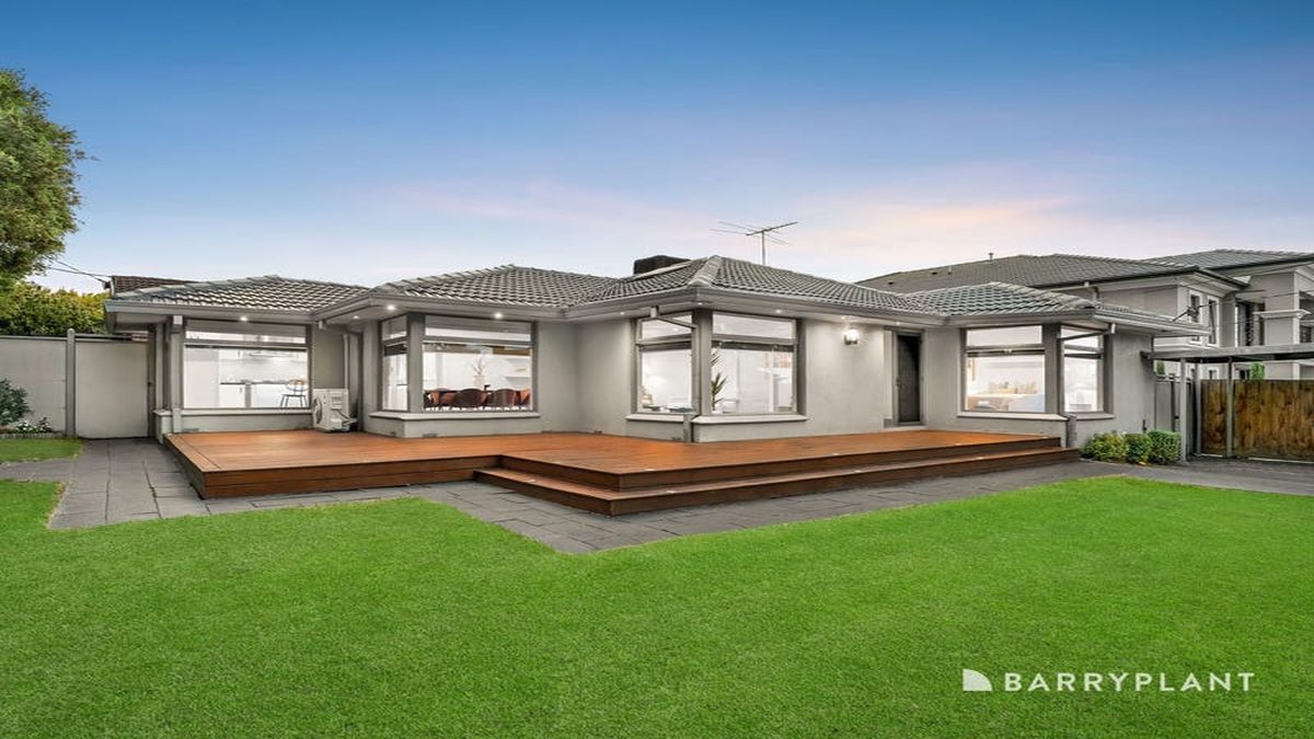
Warranwood at a Glance
Warranwood is a residential suburb where daily essentials are within reach. The suburb is home to 10 verified businesses and amenities mapped on OpenStreetMap.
| Category | Count |
|---|---|
| Restaurants | 0 |
| Cafes | 0 |
| Bars & Pubs | 0 |
| Schools | 3 |
| Parks | 6 |
| Medical | 0 |
| Supermarkets | 0 |
| Gyms | 1 |
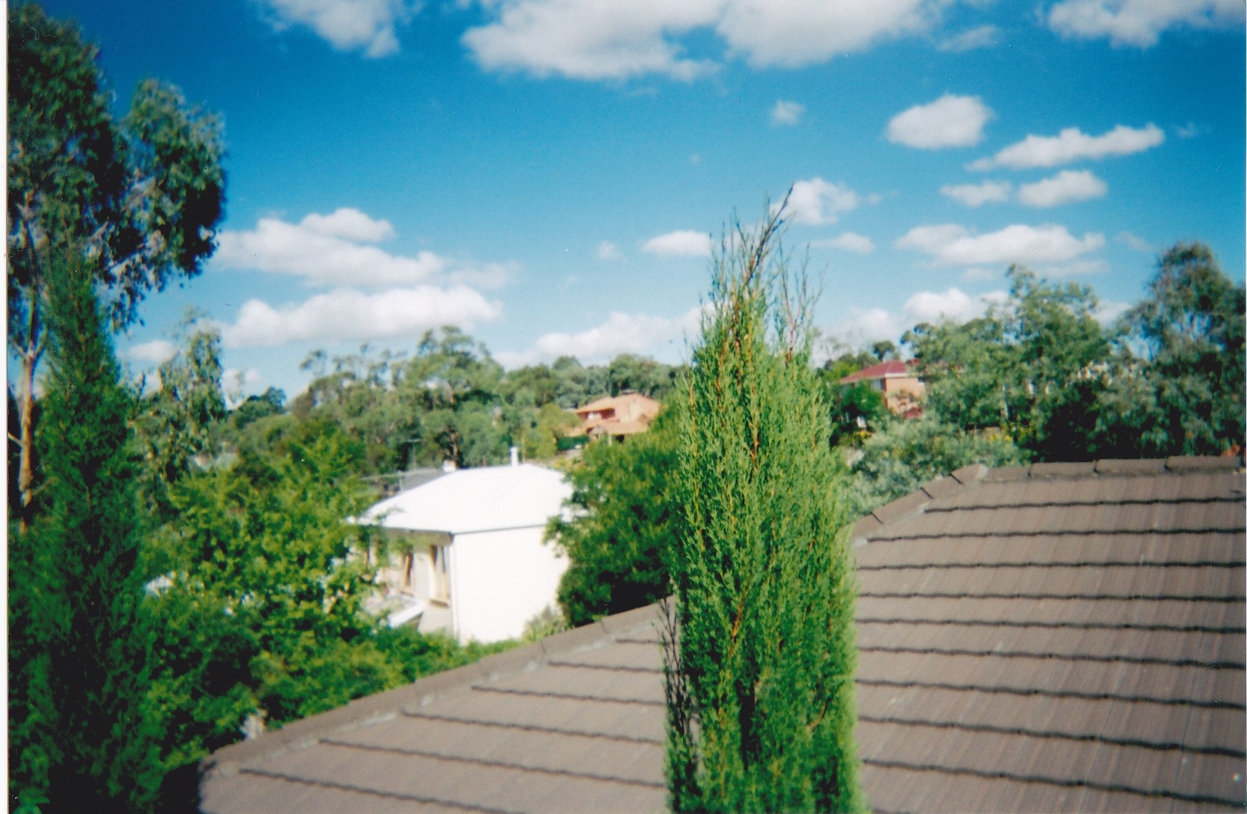
The pace here is quiet and family-oriented.
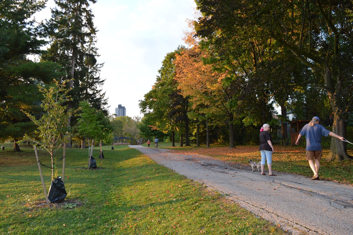
Green space: Narr-Maen Reserve, Yanggai Barring Reserve, Wellington Park, Little John Reserve and 2 more parks.
Explore Warranwood
Every guide below is built from verified data — real venues, real addresses, real numbers. No sponsored listings, no paid placements.
- Best Restaurants — 0 verified restaurants
- Best Cafes — multiple cafes mapped
- Best Bars & Pubs — multiple venues
- Family Guide — 3 schools, 6 parks
- Neighbourhood Guide — full amenity breakdown
- Cost of Living — rent, groceries, transport costs
- Transport Guide — getting around Warranwood
Related Guides
- Best Restaurants in Warranwood
- Best Cafes in Warranwood
- Best Bars in Warranwood
- Cost of Living in Warranwood
- Warranwood Neighbourhood Guide
- Family Guide to Warranwood
- Is Warranwood Safe?
- Warranwood Transport Guide
Last updated: March 2026. This guide is refreshed when OpenStreetMap data changes — new openings, closures and corrections are reflected automatically. Found something wrong? Let us know.
Sources
- OpenStreetMap Contributors — openstreetmap.org — accessed March 2026
- ABS Census 2021 — abs.gov.au/census
- REIV Quarterly Median Prices — reiv.com.au